

Sourced information
Cadastral references and registered areas come from IGN’s API Carto, distributing DGFiP cadastral data. Boundaries are not a land survey. Aerial photographs come from IGN’s Géoplateforme. The retrieval date is distinguished from the imagery acquisition date when known.
Declared and calculated information
The dossier name, purpose and asking price are visitor declarations. Total areas sum registered areas without duplicate parcels. Analytical layers require georeferenced source data and a documented method. No trees, species or transactions are invented.
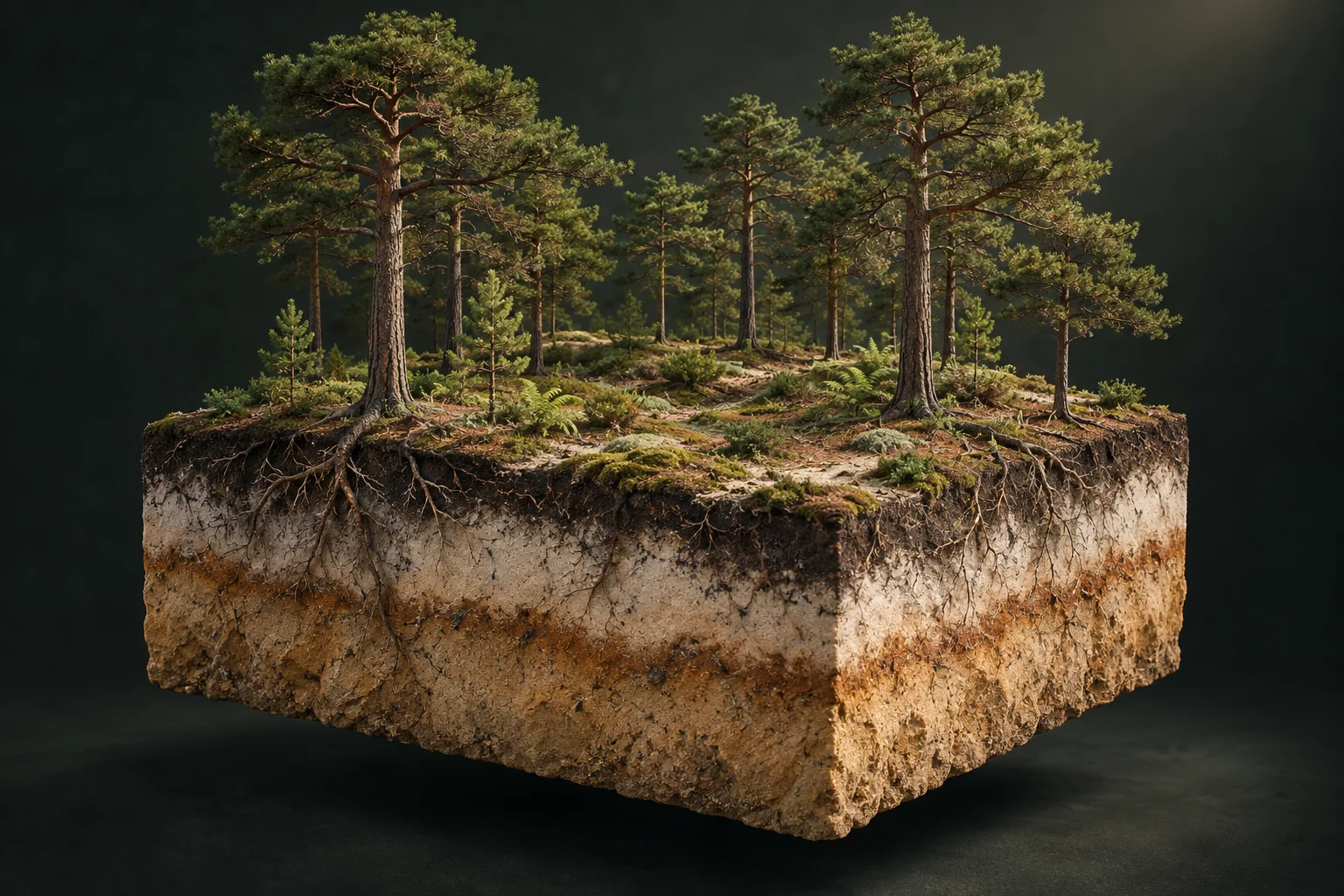
Soil, water and site conditions help explain a stand. This cutaway illustrates questions to ask; it does not diagnose a property.
Explanatory illustration · not a depiction of an analysed propertyThe valuation rule
The value is an approximate scenario using historical or nearby sales, then departmental or national benchmarks, with slope assumptions. The broad scenario range is not a confidence interval. Trees are never counted twice and buildings are excluded.
Coverage and payment
The cadastral map can query public sources live. Cadastral, forest, elevation and public transaction data are cross-checked for the selection. Payment and email delivery are not activated. No actual payment is requested. Displayed prices are launch offers; access is currently complimentary.
Personal information
Selections are stored on this device so the journey can be resumed. References and images are sent to the services needed for analysis. Reports and images are cached in the browser for 24 hours. Processing details appear in Method & transparency. You can clear the dossier in the parcel selector.
Method & transparency
AI image interpretation
The sample orthophoto was reviewed with ChatGPT. Adopted visible cover: 98%, 97% and 94% for A 0051, A 0052 and A 0056. These hypotheses are scaled to registered areas. Species are cross-checked against BD Forêt.
Reading the valuation
The amount is an approximate documentary scenario, not an appraisal. Per parcel: identified historical sale; otherwise a weighted median of up to 15 nearest sales within 40 km and between a quarter and four times the parcel area (at least 5 sales); otherwise the departmental median, then the national benchmark. Distance and area similarity weight sales. If the selection includes historical evidence, other parcels use the departmental benchmark. Median slope over 15°: factor 0.9; over 25°: 0.8. These are uncalibrated assumptions, not a market tariff. No extra correction applies to a historical sale of the parcel, which already reflects its terrain. The scenario range spans 55% to 170% of the amount, with no associated probability. Composition, health, rights and costs are not appraised.
Parcel portions
A drawn portion keeps its parent cadastral reference. The drawing is intersected with the parcel geometry; its spherical area is calculated in square metres and may differ from a survey. Canopy, spatial sources and value relate only to that area. Full registered area is retained separately. Drawing a portion establishes neither a legal subdivision nor the right to sell it separately.
Maps and dates
DGFiP cadastre via IGN, BD ORTHO and BD Forêt v2. BD ORTHO capture dates come from the IGN mosaic graph intersected with each boundary. Partial coverage and missing dates remain visible. Harvesting may have occurred since the image. Accessed 2026-09-29. Terrain uses IGN RGE ALTI elevations on a grid inside each polygon. Slope is calculated between neighbouring samples. BD Forêt coverage is estimated by point sampling, not field observation.
Sample height measurements
IGN LiDAR HD acquired 15 February 2024, released 15 October 2025; 0.50 m grid. P10–P90 range for pixels over 5 m. Candidate crowns: local maxima using 4 and 6 m radii; not an exact tree count. Sample orthophoto: 20 September 2023.
Transactions and scope
WoodWorth calculations from DGFiP / Etalab 2025 DVF files, released 18 May 2026, accessed 28 September 2026. Sales only, one disposition and one price per transaction; exclusively forest cadastral land-use codes B, BF, BP, BR, BS, BT or BO; no declared building or property lot; 1–1,000 ha and €500–100,000/ha. Duplicate surface rows removed; transactions appearing in multiple departments excluded. Arithmetic mean of per-sale hectare prices and unweighted median; results hidden below 5 sales. Fiscal land use does not establish current tree conditions. These filters exclude mixed properties and may retain undocumented special circumstances. A market sample, not exhaustive statistics or a property valuation.
Declarations and limitations
Name, purpose, asking price and buildings: unverified visitor declarations. Buildings excluded from value. Legal access is assumed for the scenario and must be checked in title deeds: a visible track proves no right of way. Standing trees are already included in the property value; no harvest value is added. Editorial illustrations are created with ImageGen and do not depict the property.
Sources and dates
- Safer — 2025 forest market, published 21 May 2026
- CNPF — Buying and selling woodland, updated August 2025
- IGN / DGFiP — API Carto
- IGN — BD ORTHO
- CNPF — Timber sales
Accessed 28 September 2026. Independent sources; no partnership implied.