


 Maps & inventory
 DVF · DGFiP / Etalab
 Woodland market
 Timber prices
 Woodland management
Local market
Nearby, dated, comparable sales. A listing records the seller’s asking price.
A CLEARER VIEW OF FRENCH WOODLAND
Buying, selling or understanding a property. Select French parcels: we bring together the maps, data and an initial estimate.
Explore a report ↗From €9 incl. tax · One-time payment · No account
THE MARKET, BEFORE YOUR PARCEL
A starting point for the market. Then the right questions for this particular woodland.
National average published by Safer
+2.5% year on year · published changeTwo Safer forest regions show the scale of the difference.
Forest regions, not administrative regions. Sale averages: none sets the value of your selection.
What about this forest, its access, trees and slopes?
Analyse parcels01 — THE RIGHT BOUNDARIES
Search for a town, address or place name. Click the parcels you are interested in, even if they are separate.
Find the parcelsThe map gathers references and registered areas.
Maps, stands, terrain and markets: the sources come together.
See the price before access. Then personalise your report if you wish.
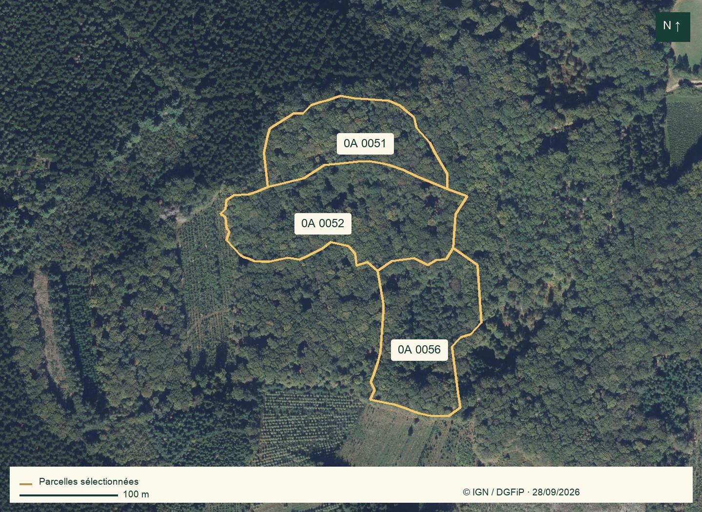
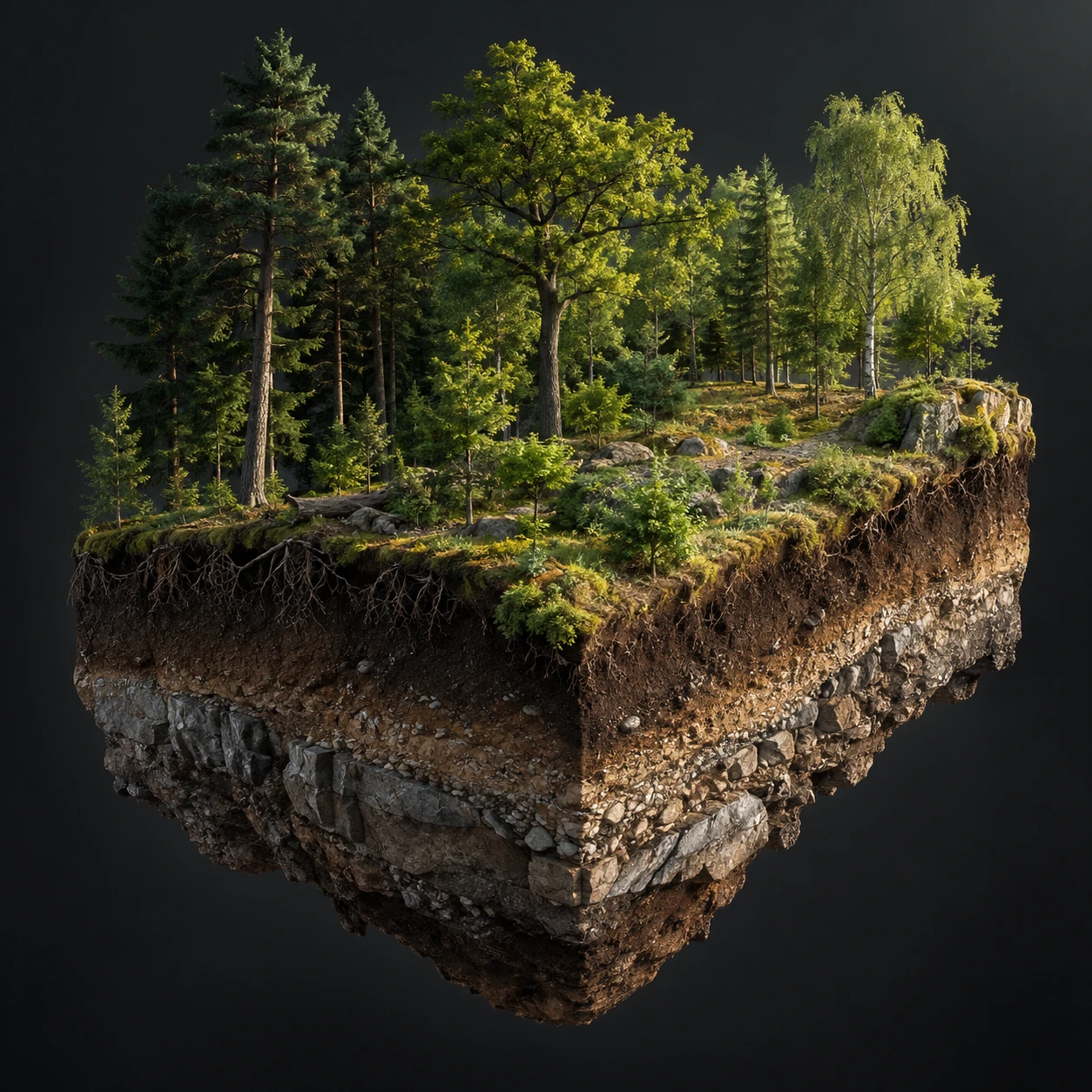 Illustration · not a model of the selection
02 — MORE THAN HECTARES
Estimated woodland cover, probable stands, terrain, visible access and nearby sales. Each detail puts the price in context and prepares you for a visit.
Sources and assumptions are identified. Buildings are excluded.
See the result03 — A DOSSIER TO KEEP
A clear overview, an explained estimate and maps for each parcel. On the web and in a PDF that is easy to share.
Open the sample report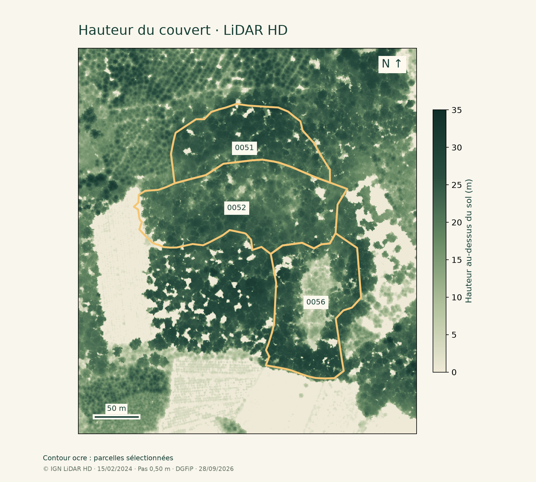
WHAT MAKES THE DIFFERENCE
Area gives the scale. These six factors help explain the price.
Nearby, dated, comparable sales. A listing records the seller’s asking price.
Species, diameter, quality and health: a species name alone cannot value a stand.
Rights of way, width, bearing capacity and timber loading space. A visible track proves none of these.
They can make operations harder and costlier. The effect depends on machinery and access.
Recent harvesting, young-tree care or track repairs change your project’s budget.
Easements, management commitments, fire and health: evidence to request and verify.
A forest sale generally includes land and standing trees. Harvest proceeds are a different value: do not add them to references that already include the trees.
Understand valuationFRENCH WOODLAND PRICES
Choose a department to explore forest sales retained from DVF. These statistics describe a transaction sample; they do not establish the value of every forest.
Nièvre (58) · DVF 2025
80% of prices in this sample fall between 1,315 and 16,550 €/ha. These are the 10th and 90th sale percentiles, not a valuation range for the property.
WoodWorth calculations · DGFiP / Etalab 2025 DVF · Files dated 18 May 2026 · Accessed 28 September 2026. Exclusively forest sales with no declared building, 1–1,000 ha, €500–100,000/ha, at least 5 sales. Full methodology ↗
Explore all market benchmarks ↗YOUR PROJECT, YOUR STARTING POINT
Understand the asking price and prepare a useful site visit.
Checks before an offerGather evidence and put together a clear dossier.
Prepare a valuationLocate parcels, understand their context and identify questions.
Understand woodland valueTHE WOODWORTH JOURNAL
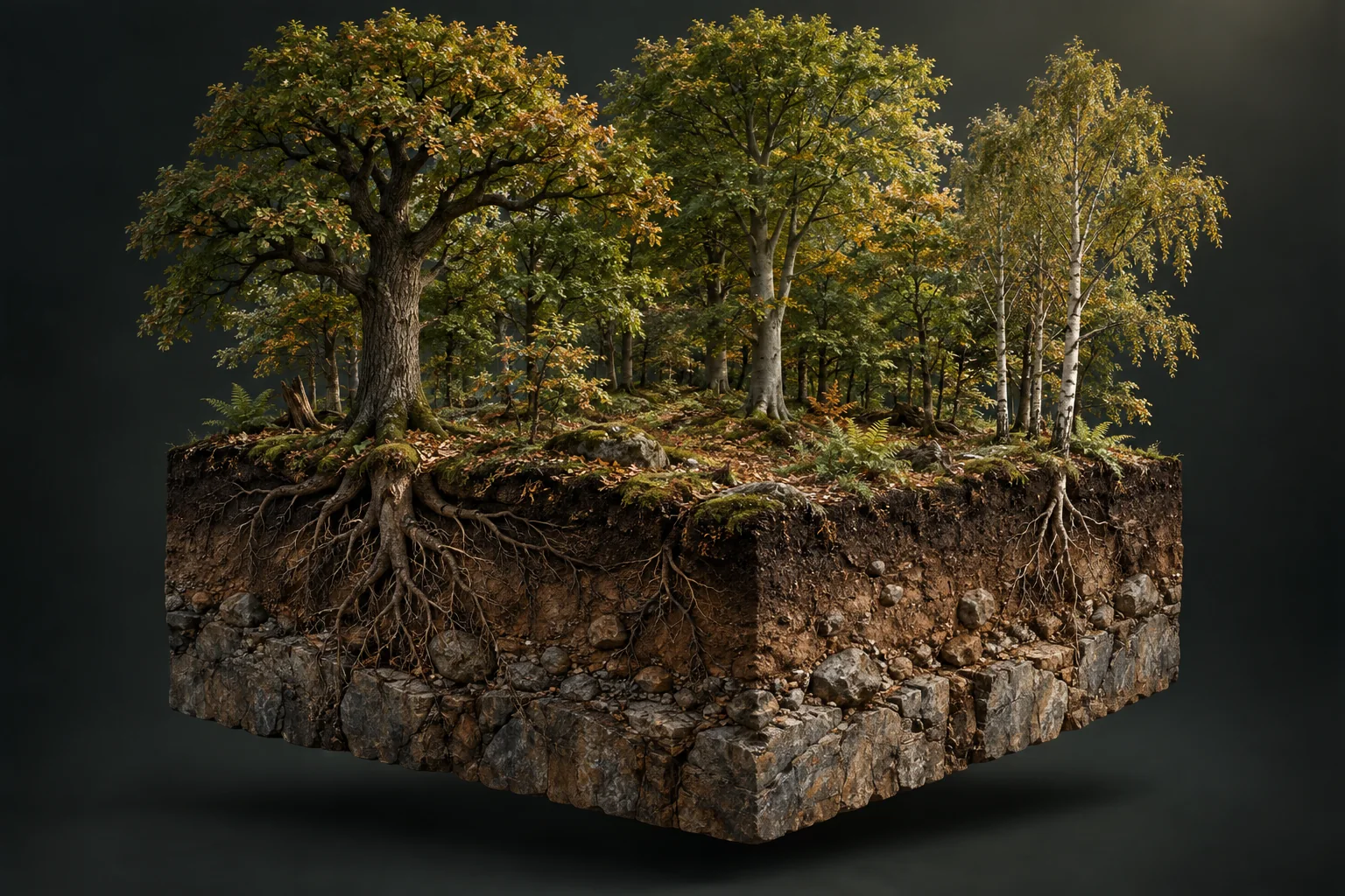
Irregular income, fees and works: what to budget before discussing returns.
2025 figures published in 2026, and how to read them.
Separate what remains, what was sold and what needs renewing.
Legal access and machinery access: two different checks.
Costs to plan for before and after completion.
GET TO KNOW THE TREES
Explore 15 species. Understand stands, prepare your visit and make sense of a valuation.
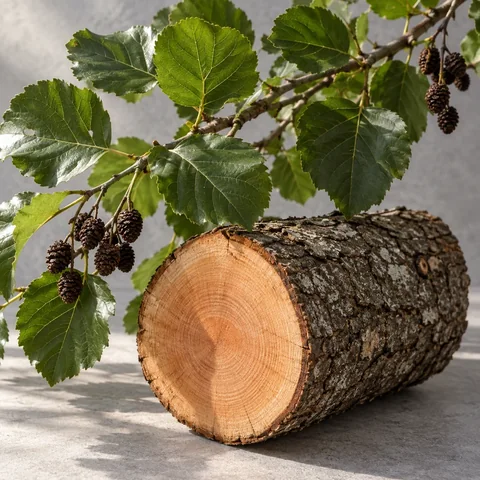
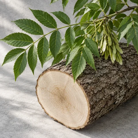
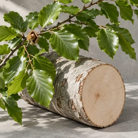
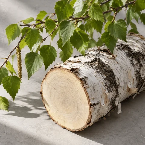
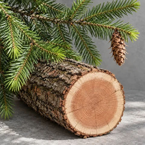
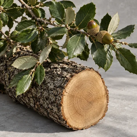
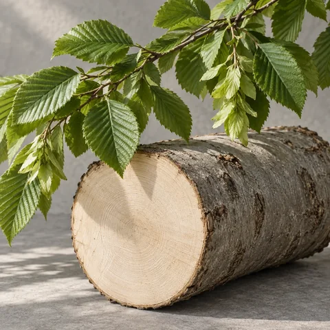
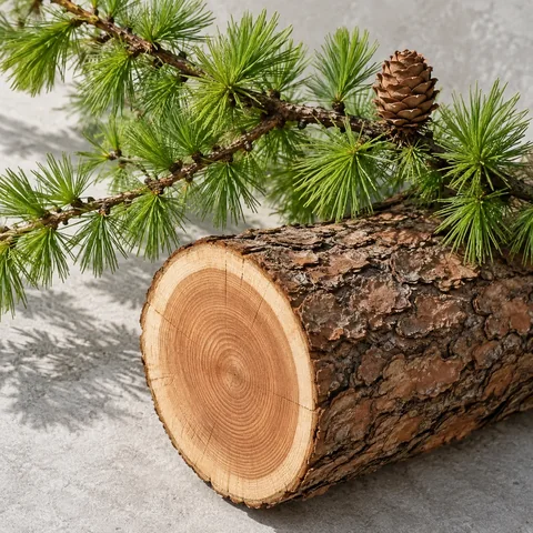
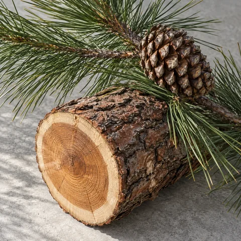
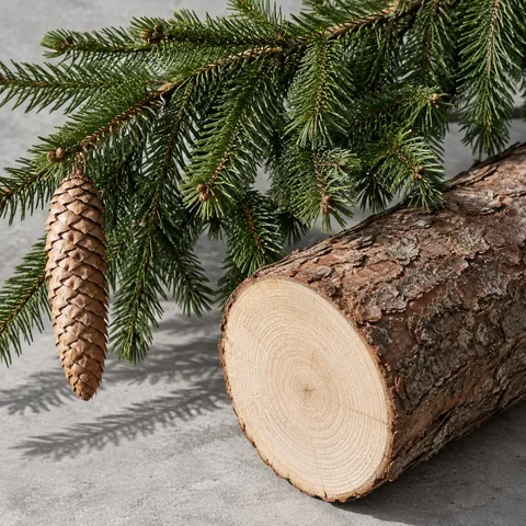
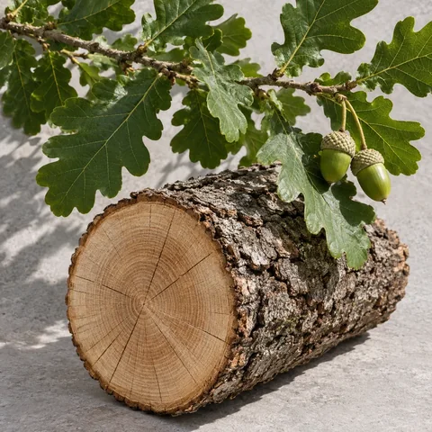
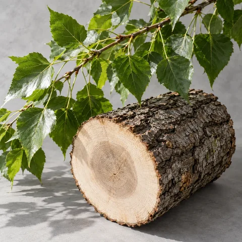
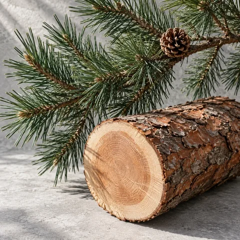
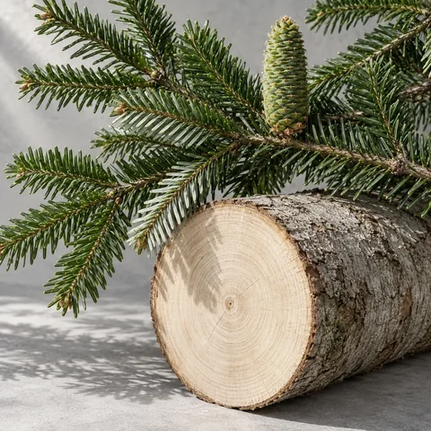
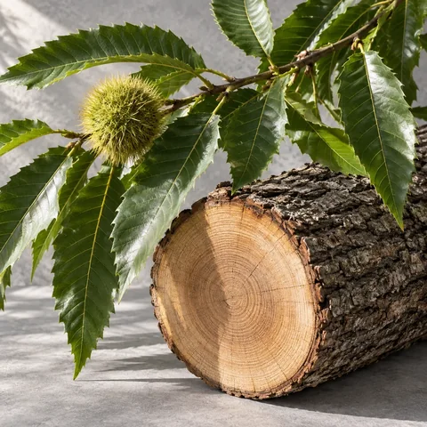
Frequency: area where the species is present in mainland France and Corsica, 2020–2024 average. This national benchmark is neither a probability of occurrence on the property nor an ecological rarity status. Species absent from this table remain unranked. Prices: 2025 private-forest standing-timber indicators, using different reference tree volumes by species. They do not measure demand and are not added to the land-and-trees valuation. IGN 2025, p. 60–61 · France Bois Forêt 2026.
Editorial botanical illustrations. They do not depict trees on a particular property.

A valuable resource may be costly to harvest. Access and terrain need to be considered together.
Editorial illustration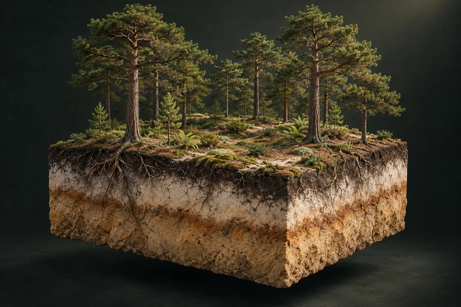
Sand, depth and available water: the same species behaves differently from site to site.
Editorial illustrationDifferent species and ages create different management timelines within one woodland.
Editorial illustrationONE REPORT. ONE PAYMENT.
The same report quality. Only the scope changes.
INCLUDED IN EVERY REPORT
ONE PARCEL
Indicative estimate · Maps · Stands
Parcel overview · Web & PDF
SMALL WOODLAND
Indicative estimate · Maps · Stands
Parcel overview · Web & PDF
LARGER FOREST
Indicative estimate · Maps · Stands
Parcel overview · Web & PDF
Exceeding either limit moves the selection to the next tier. More than 20 parcels or 100 ha is outside scope. Payment coming soon; access is currently complimentary. Drawn portions are priced using their analysed area.
THE ESSENTIAL QUESTIONS
Define the parcels, find comparable sales and examine stands, access, slope and future works. Multiplying an average by the area is not enough. WoodWorth assembles the evidence in a dossier, with explicit assumptions and field checks.
The national average for unbuilt woodland is €4,950/ha for 2025, according to Safer’s 21 May 2026 publication. It is a statistical benchmark: a specific small woodland may differ considerably. Here, 2026 is the publication year, not the transaction year.
Supply, demand, stands and the properties sold differ. Safer reports €2,850/ha for the Massif central and €7,880/ha for the Nord-Bassin parisien in 2025. Compare consistent scopes and periods, then the property’s characteristics.
It depends on the purchase price, achievable income, expenses and harvest timing. Account for management, maintenance, insurance, renewal and transaction costs. Harvest proceeds are not an annual yield. Our guide helps build a budget without promising income.
There is no automatic gain or universal rate. The economic result depends on resale proceeds and project costs. Taxable capital gains follow separate tax rules: ask the notaire for a calculation specific to your situation. A WoodWorth estimate is not a tax calculation.
The land retains value, but removed trees must not be valued as though still standing. Examine retained stands, regeneration, timber contracts and required works. An old photograph may predate the harvest, making dates and a site visit essential.
An approximate value and range, explained using available sales and documented characteristics. Assumptions and gaps remain visible. This is not a field appraisal.
Imagery is cross-checked with IGN forest maps. Inferred species remain hypotheses. Hidden trees and tree health cannot be inventoried remotely.
Yes, in the same browser. Selection, project name and any notes are retained when switching language. Clearing browser data removes them.
Yes. WoodWorth also helps you prepare a purchase or research a property. Selecting a parcel gives no right to enter the land.
€9 including tax for 1 parcel up to 0.5 ha; €19 for up to 5 parcels and 20 ha; €59 for up to 20 parcels and 100 ha. Both limits must be met. The total is shown before access. Payment is not yet enabled: access is currently complimentary.
Yes. Edit the boundary to retain a portion. Analysed area and valuation follow that drawing. It does not replace a boundary survey or cadastral subdivision.
No. A report may include separate parcels. It contains an overall summary, a value for each parcel and an indicative price per hectare.
An average describes a set of sales, not a particular property. Local market, area, terrain, access and stands can explain differences. The report distinguishes the market benchmark from the selection scenario.
Not always. The photograph may predate harvesting. Capture dates are shown when supplied. Compare available imagery, request recent pictures and inspect on site.
It can make harvesting more expensive. Where slope is measured, the report explains any indicative adjustment. This is not an expert tariff: real access and feasible harvesting methods still need verification.
The report provides cadastral identifiers and prepares a town-hall request. Public maps contain no owner names or contact details. The land registry may supply further information through its official process. No message is sent automatically.
No. The scenario concerns land and standing trees. A house, barn or other building needs a separate valuation. Harvest value is not added to a sale that already includes the trees.
For an additional €4.90 at the displayed price, it adds per-parcel notes and a PDF field appendix. It is optional and not preselected. The base report retains all maps, valuation and advice.