

WOODLAND INTELLIGENCE / 2026-09-28
Saint-Brisson woodland
Saint-Brisson · France
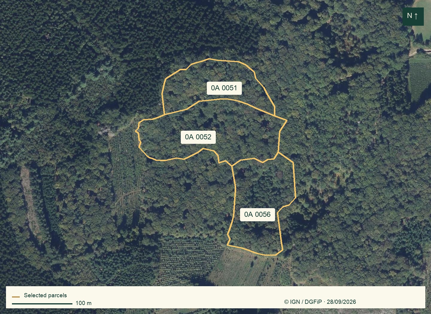
This image shows conditions at capture. Recent harvesting, storm damage or clearing may be absent; request recent photos and visit the property.
INDICATIVE SELECTION VALUE
A starting point for your next decision.
Real public data and documentary estimates. This report does not certify current tree conditions, rights or the price at which the property could sell.
VALUE, PARCEL BY PARCEL
Land and standing trees · buildings excluded
| Parcel | Analysed area | €/ha | Indicative value |
|---|---|---|---|
| 0A 0051Saint-Brisson | 1.118 ha | ≈ 3,721 € | ≈ 4,160 € |
| 0A 0052Saint-Brisson | 1.911 ha | ≈ 7,849 € | ≈ 15,000 € |
| 0A 0056Saint-Brisson | 1.39 ha | ≈ 3,721 € | ≈ 5,172 € |
The overall total is rounded and may differ slightly from the parcel sum. Per-hectare figures include any slope adjustment.
Your parcels, one by one.
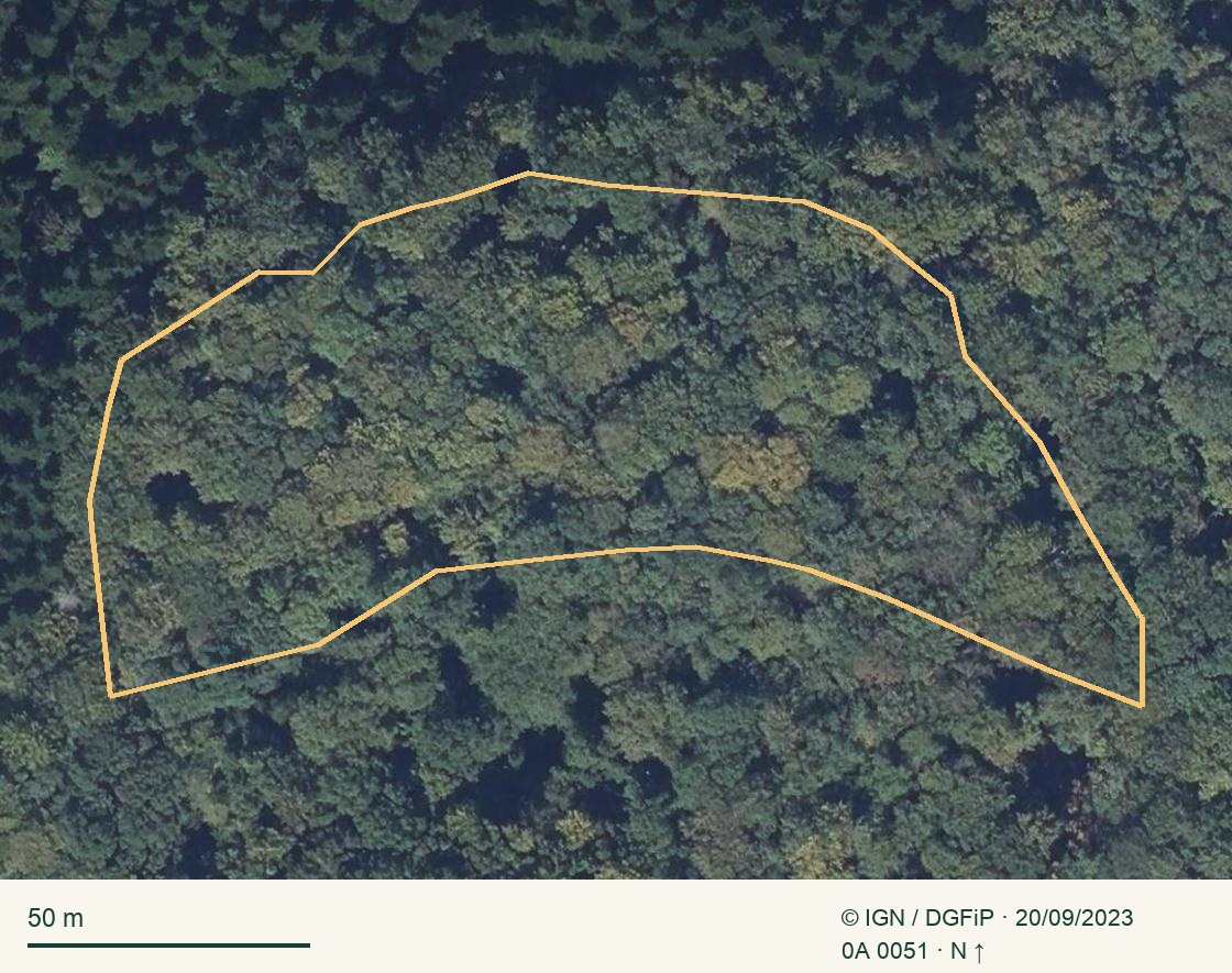
01 / Saint-Brisson
0A 0051
582350000A0051IGN capture date: 20/09/2023
Closed broadleaf canopy, irregular crowns; shadows and small gaps need checking.
What may change this price ↗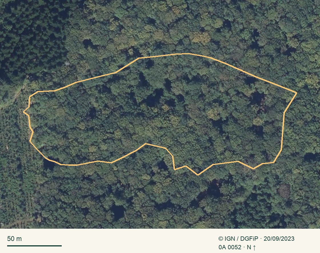
02 / Saint-Brisson
0A 0052
582350000A0052IGN capture date: 20/09/2023
Closed broadleaf canopy, irregular crowns; shadows and small gaps need checking.
What may change this price ↗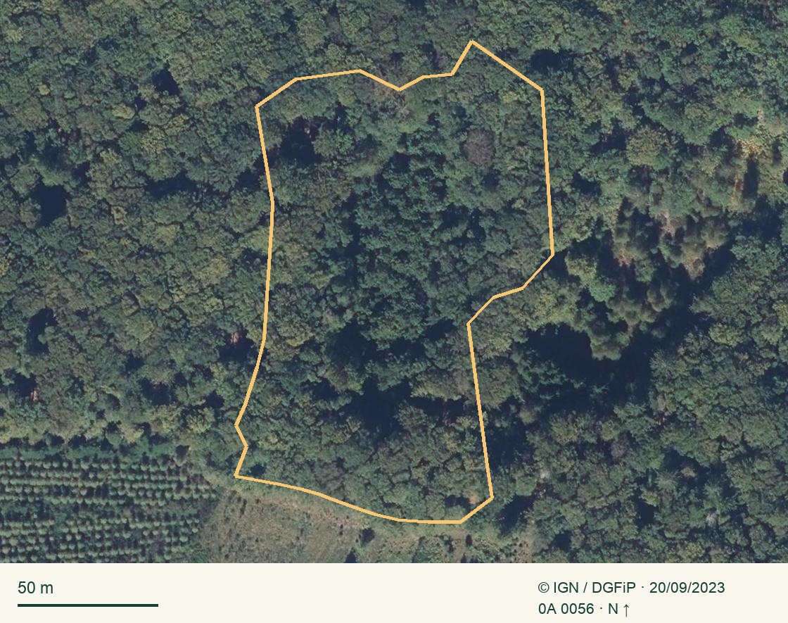
03 / Saint-Brisson
0A 0056
582350000A0056IGN capture date: 20/09/2023
Mainly broadleaf canopy, more varied texture and a more open southern edge.
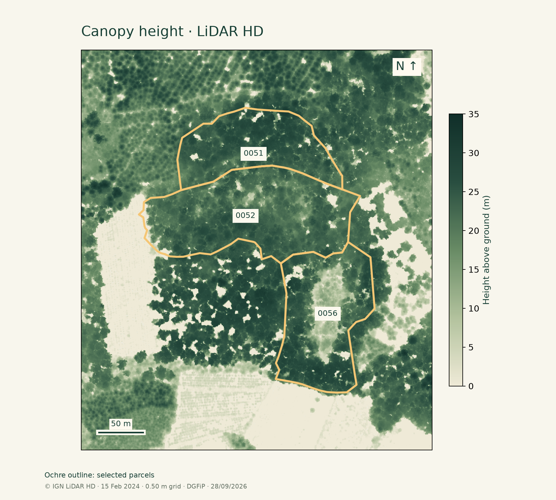
What may change this price ↗What the canopy reveals.
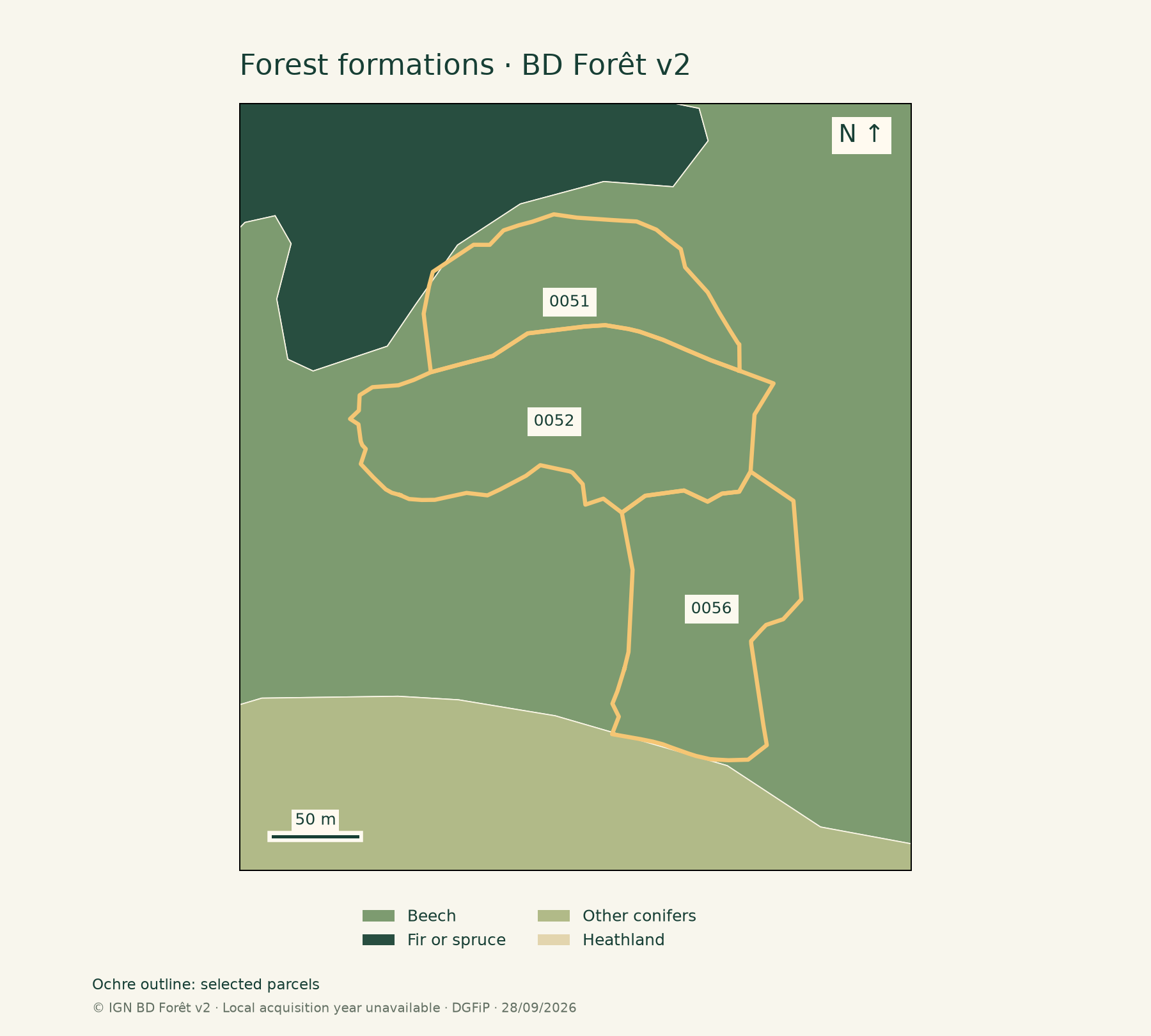
AREA DISTRIBUTION
Proportions of the analysed area. Approximate shares, not a tree-by-tree inventory.
Species: evidence and possibilities.
All species and groups reported by the sources are retained. An aerial photo cannot provide an exhaustive inventory.
In your selection’s sources
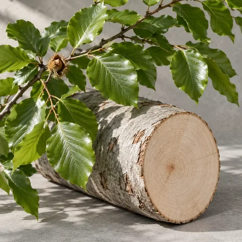
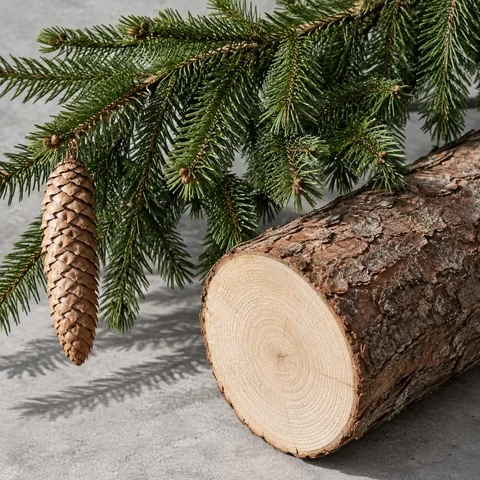
Fir / spruce · Beech · Conifers
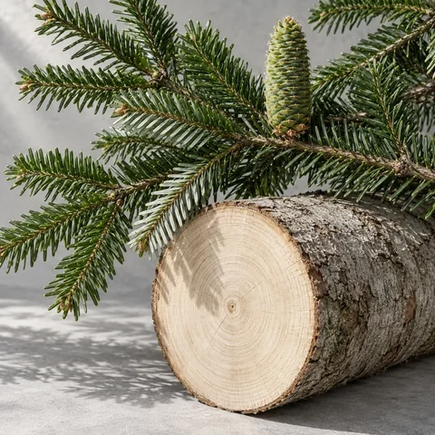
Broaden your field checklist: 12 other botanical references
General reference catalogue without local occurrence evidence. Use it to identify a tree during the visit, not as a list of species on the property.
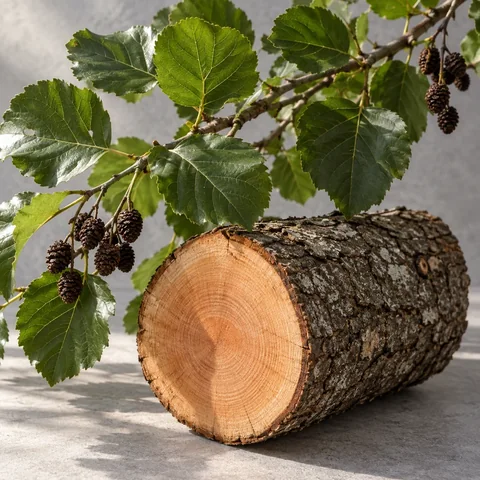
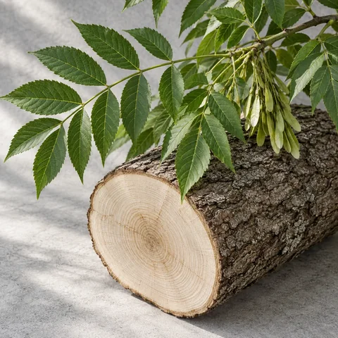
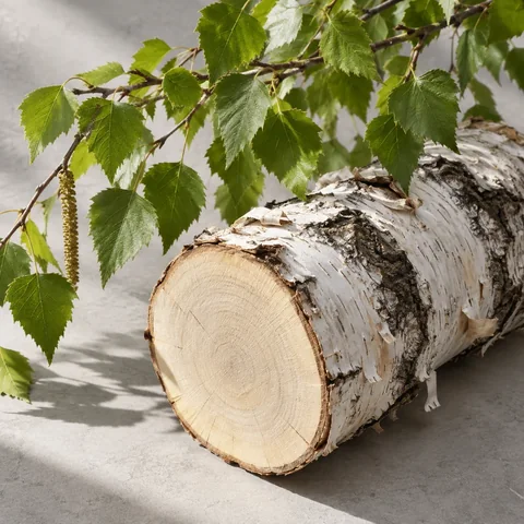
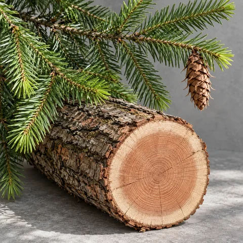
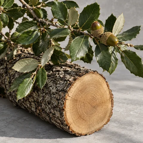
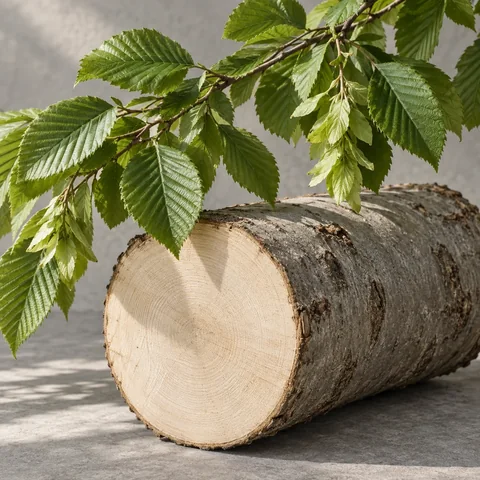
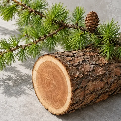
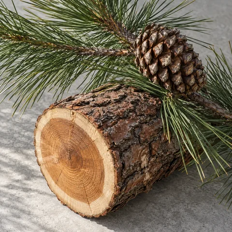
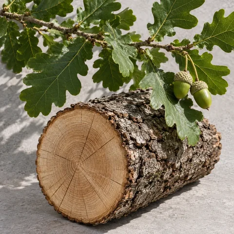
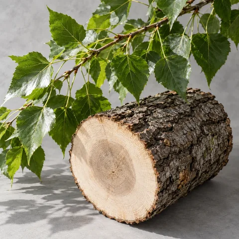
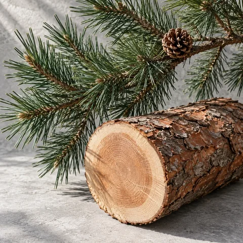
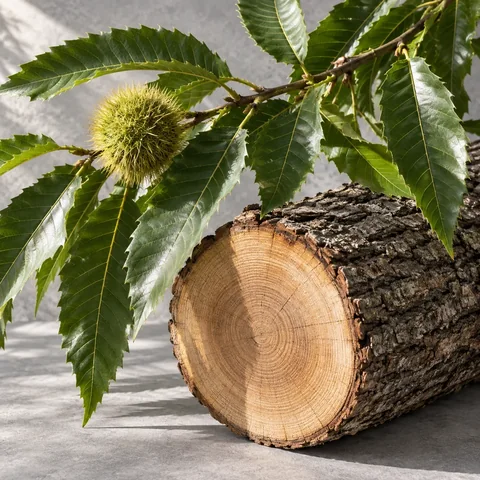
Frequency: area where the species is present in mainland France and Corsica, 2020–2024 average. This national benchmark is neither a probability of occurrence on the property nor an ecological rarity status. Species absent from this table remain unranked. Prices: 2025 private-forest standing-timber indicators, using different reference tree volumes by species. They do not measure demand and are not added to the land-and-trees valuation. IGN 2025, p. 60–61 · France Bois Forêt 2026.
Botanical illustrations, separate from property photographs.
Read the terrain. Plan access.
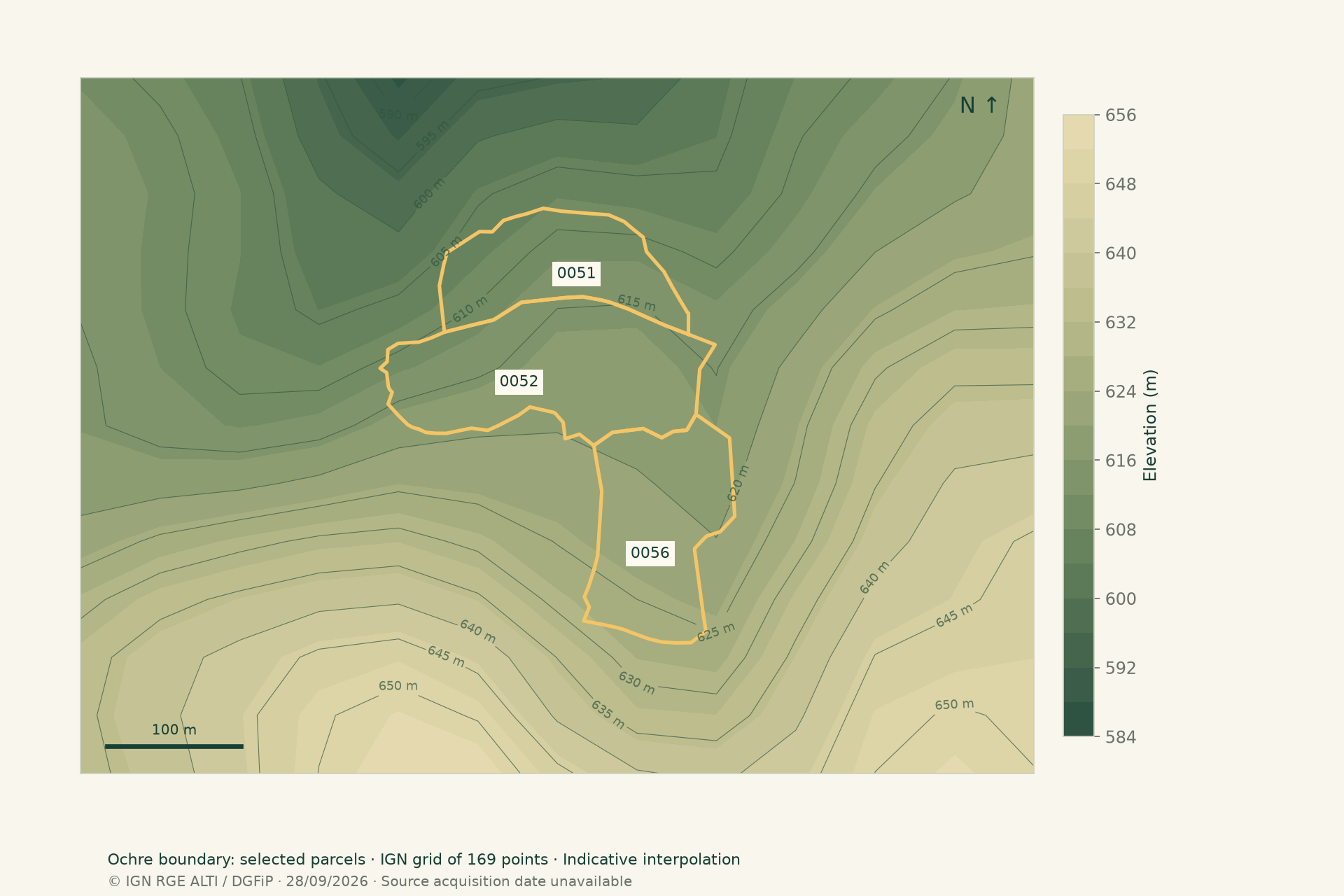
Explore the 3D terrain view
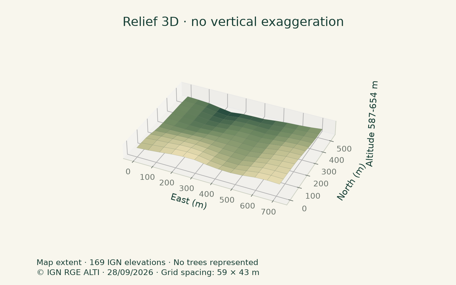
A visible track does not establish a right of access. Check easements, width, bearing capacity and machinery access. Sampled slopes may miss a bank or ditch.
A price. And the evidence behind it.
INDICATIVE SCENARIO
≈ 24,000 €
13,000 € – 41,000 €
This amount relates the analysed scope to available transactions. It assumes legal access and excludes buildings. The broad range reflects unknown stand and sale conditions.
WHAT AFFECTS THE PRICE
The factors, clearly explained.
See what already enters the scenario and what may change the price after a visit. No hidden bonuses or deductions.
Already accounted for
Selected area
4.419 ha · 3 parcel(s)Only the selected area counts. A drawn portion keeps its parent parcel reference.
Location and comparable sales
departmental median / historical saleThe benchmark uses available sales, distance and area. Local demand can vary.
Land and trees, excluding buildings
No harvest value addedForest sales already include standing trees. Buildings and acquisition costs are outside this estimate.
May change the value
Slope and harvesting
No additional deductionNo slope measurement for this selection: no correction. Steep terrain may increase timber extraction costs; measure on site.
Species, age and quality
Harvestable timber and recent cutsVolume, size, quality and harvests affect the resource. A photo does not measure saleable timber stock.
Access and rights of way
Machinery, tracks and easementsDifficult access can increase working costs. A visible track proves neither legal access nor bearing capacity.
Tree health and hazards
Disease, fire, wind and droughtDamaged or weakened trees can reduce proceeds and create costs. No health assessment is performed here.
Soil, water and climate
Growth and species suitabilitySoil depth, water availability and exposure affect potential. These need assessment on site.
Shape and fragmentation
Boundaries and woodland continuityNarrow, isolated or scattered plots may complicate management. A drawing does not establish legal boundaries.
Restrictions and commitments
Title, management, protections and leasesDocuments and commitments may restrict use or harvesting. Their effect must be examined.
Future works and costs
Maintenance, replanting and insuranceFuture expenditure matters when buying. No works budget or guaranteed income is deducted here.
Uses and location appeal
Recreation, hunting and proximityBuyer appeal may extend beyond timber. No hunting income or carbon-credit revenue is assumed.
Management references: CNPF · Slope coefficients are WoodWorth assumptions, not validated by CNPF.
| Parcel | Adopted benchmark | Benchmark €/ha | Scenario |
|---|---|---|---|
| 0A 0051 | Departmental sale median · n = 112 | 3,721 | 4,160 € |
| 0A 0052 | Historical parcel sale · n = 1 | 7,849 | 15,000 € |
| 0A 0056 | Departmental sale median · n = 112 | 3,721 | 5,172 € |
0A 0051 : Slope unavailable · No slope adjustment applied.
0A 0052 : Slope unavailable · No additional deduction: the historical sale already reflects the land.
0A 0056 : Slope unavailable · No slope adjustment applied.
Steep slopes may increase extraction costs. These are cautious assumptions, not a validated tariff; access and harvestable volumes still require inspection.
Rounded scenario, with no numerical confidence score. The range is not a probability of a sale price.
The market around the selection
Nièvre (58) · DVF 2025
80% of prices in this sample fall between 1,315 and 16,550 €/ha. These are the 10th and 90th sale percentiles, not a valuation range for the property.
DOCUMENTED HISTORY OF THE SELECTION
15,000 € · 2025-02-25
Parcel(s) 582350000A0052 · 1.911 ha · 7,849 €/ha.
Historical price for this sale, not a current valuation of the entire selection. The deed, rights transferred and subsequent stand changes still need checking.
DGFiP / Etalab · DVF 2025 · 2025-714531Transactions to compare with the project
| Commune · date | ha | € | €/ha | km |
|---|---|---|---|---|
| Saint-Brisson2025-02-27 · 2025-714859 | 1.68 | 5,000 € | 2,982 | 3 |
| Gouloux2025-05-06 · 2025-715582 | 1.24 | 11,000 € | 8,882 | 4 |
| Dun-les-Places2025-06-17 · 2025-716428 | 1.5 | 1,700 € | 1,134 | 5.5 |
| Montsauche-les-Settons2025-09-09 · 2025-717475 | 1.06 | 4,000 € | 3,765 | 5.9 |
| Alligny-en-Morvan2025-11-17 · 2025-718638 | 1.66 | 3,000 € | 1,808 | 8.1 |
| Brassy2025-12-15 · 2025-719032 | 5.09 | 18,000 € | 3,536 | 8.4 |
Public 2025 DVF sales, with no declared building and forest cadastral use. Species, quality, access and sale context are not qualified. Straight-line distance.
Standing timber prices by species
These timber prices are not woodland prices per hectare. Standing trees are already included in woodland sales: no harvest value is added to the estimate. No recoverable volume is measured.
France Bois Forêt · 2026 / 2025 ↗IDENTIFIERS & OWNERS
Who owns this land?
The public cadastral map contains no owner names or contact details. The local town hall can help using the references below. A separate request is prepared for each municipality.
Saint-Brisson INSEE 58235 · 3 parcel(s)
| Reference | Full cadastral identifier |
|---|---|
| 0A 0051 | 582350000A0051 |
| 0A 0052 | 582350000A0052 |
| 0A 0056 | 582350000A0056 |
The land registry (SPF) supplies information on written request; fees may apply. The cadastral map does not prove legal boundaries. WoodWorth sends no messages.
Form 6815-EM-SD ↗ · Official process · impots.gouv.fr ↗Source: DGFiP, page updated 10 July 2026.The right checklist, before your visit.
Scope and boundaries
Do title references match the selection? Where are the boundary markers? Are any buildings sold separately?
Legal access
Is there a written easement? What route, beneficiary and uses does it cover? Who maintains the track?
Access for forestry work
Can machinery pass in every season? Check width, slopes, structures and timber loading areas.
Stands and health
Which species are present? What ages, volumes and defects have been observed on site? Is there a recent inventory?
Harvests, works and commitments
What has been harvested? Are timber sales, works or leases already agreed? Request management documents.
Risks and restrictions
Have natural hazards, protections, management rules and applicable priority rights checked with the relevant authorities and notaire.
Price and sale scope
Does the asking price include land, trees and buildings? Which genuinely comparable completed sales support it?
Method & transparency.
AI image interpretation
The sample orthophoto was reviewed with ChatGPT. Adopted visible cover: 98%, 97% and 94% for A 0051, A 0052 and A 0056. These hypotheses are scaled to registered areas. Species are cross-checked against BD Forêt.
Reading the valuation
The amount is an approximate documentary scenario, not an appraisal. Per parcel: identified historical sale; otherwise a weighted median of up to 15 nearest sales within 40 km and between a quarter and four times the parcel area (at least 5 sales); otherwise the departmental median, then the national benchmark. Distance and area similarity weight sales. If the selection includes historical evidence, other parcels use the departmental benchmark. Median slope over 15°: factor 0.9; over 25°: 0.8. These are uncalibrated assumptions, not a market tariff. No extra correction applies to a historical sale of the parcel, which already reflects its terrain. The scenario range spans 55% to 170% of the amount, with no associated probability. Composition, health, rights and costs are not appraised.
Parcel portions
A drawn portion keeps its parent cadastral reference. The drawing is intersected with the parcel geometry; its spherical area is calculated in square metres and may differ from a survey. Canopy, spatial sources and value relate only to that area. Full registered area is retained separately. Drawing a portion establishes neither a legal subdivision nor the right to sell it separately.
Maps and dates
DGFiP cadastre via IGN, BD ORTHO and BD Forêt v2. BD ORTHO capture dates come from the IGN mosaic graph intersected with each boundary. Partial coverage and missing dates remain visible. Harvesting may have occurred since the image. Accessed 2026-09-28. Terrain uses IGN RGE ALTI elevations on a grid inside each polygon. Slope is calculated between neighbouring samples. BD Forêt coverage is estimated by point sampling, not field observation.
Sample height measurements
IGN LiDAR HD acquired 15 February 2024, released 15 October 2025; 0.50 m grid. P10–P90 range for pixels over 5 m. Candidate crowns: local maxima using 4 and 6 m radii; not an exact tree count. Sample orthophoto: 20 September 2023.
Transactions and scope
WoodWorth calculations from DGFiP / Etalab 2025 DVF files, released 18 May 2026, accessed 28 September 2026. Sales only, one disposition and one price per transaction; exclusively forest cadastral land-use codes B, BF, BP, BR, BS, BT or BO; no declared building or property lot; 1–1,000 ha and €500–100,000/ha. Duplicate surface rows removed; transactions appearing in multiple departments excluded. Arithmetic mean of per-sale hectare prices and unweighted median; results hidden below 5 sales. Fiscal land use does not establish current tree conditions. These filters exclude mixed properties and may retain undocumented special circumstances. A market sample, not exhaustive statistics or a property valuation.
Declarations and limitations
Name, purpose, asking price and buildings: unverified visitor declarations. Buildings excluded from value. Legal access is assumed for the scenario and must be checked in title deeds: a visible track proves no right of way. Standing trees are already included in the property value; no harvest value is added. Editorial illustrations are created with ImageGen and do not depict the property.
 Maps & inventory
 DVF · DGFiP / Etalab
 Woodland market
 Timber prices
 Woodland management
Sourced information: named providers. Declarations: visitor information. Estimates: image interpretation, areas, slopes and value scenario. Indicative analysis, without field appraisal or an exhaustive inventory.
The next step happens on the ground.
Keep this report handy to compare, ask and decide.
Analyse other parcels ↗