Separate parcel identification from legal boundaries
Service Public distinguishes cadastral mapping from bornage, the process that determines and marks boundaries between adjoining private properties. Start by matching cadastral references to the ownership deed. A parcel number helps you investigate the correct land; it does not establish ownership of a disputed row of trees. Write down which part of the perimeter is uncertain and why that uncertainty matters to the proposed purchase.
Read maps as evidence to investigate
On cartes.gouv.fr, compare parcel mapping, aerial photography and terrain information. Check the dates of the data and keep a record of what you reviewed. IGN explains that map layers can be offset and that showing a track says nothing about its legal status. A visual mismatch is therefore not proof of encroachment. Use it to prepare questions rather than adjusting the boundary yourself until it matches the photograph.
Ask for documents before visiting
Request deeds and attached plans, any existing boundary agreement or survey record, and documents relating to earlier parcel divisions. Ask whether a boundary has been disputed or markers reinstated. A forestry management map may show operational compartments rather than ownership parcels, so establish what it represents before drawing conclusions. List every document received, its date and the section of the property it covers. An old plan may be relevant without answering every current question.
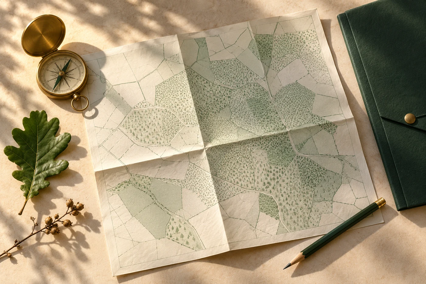
Gather the right documents and prepare the visit to compare assumptions with conditions on the ground.
Editorial illustration · not a depiction of an analysed propertyInspect visible features with the seller
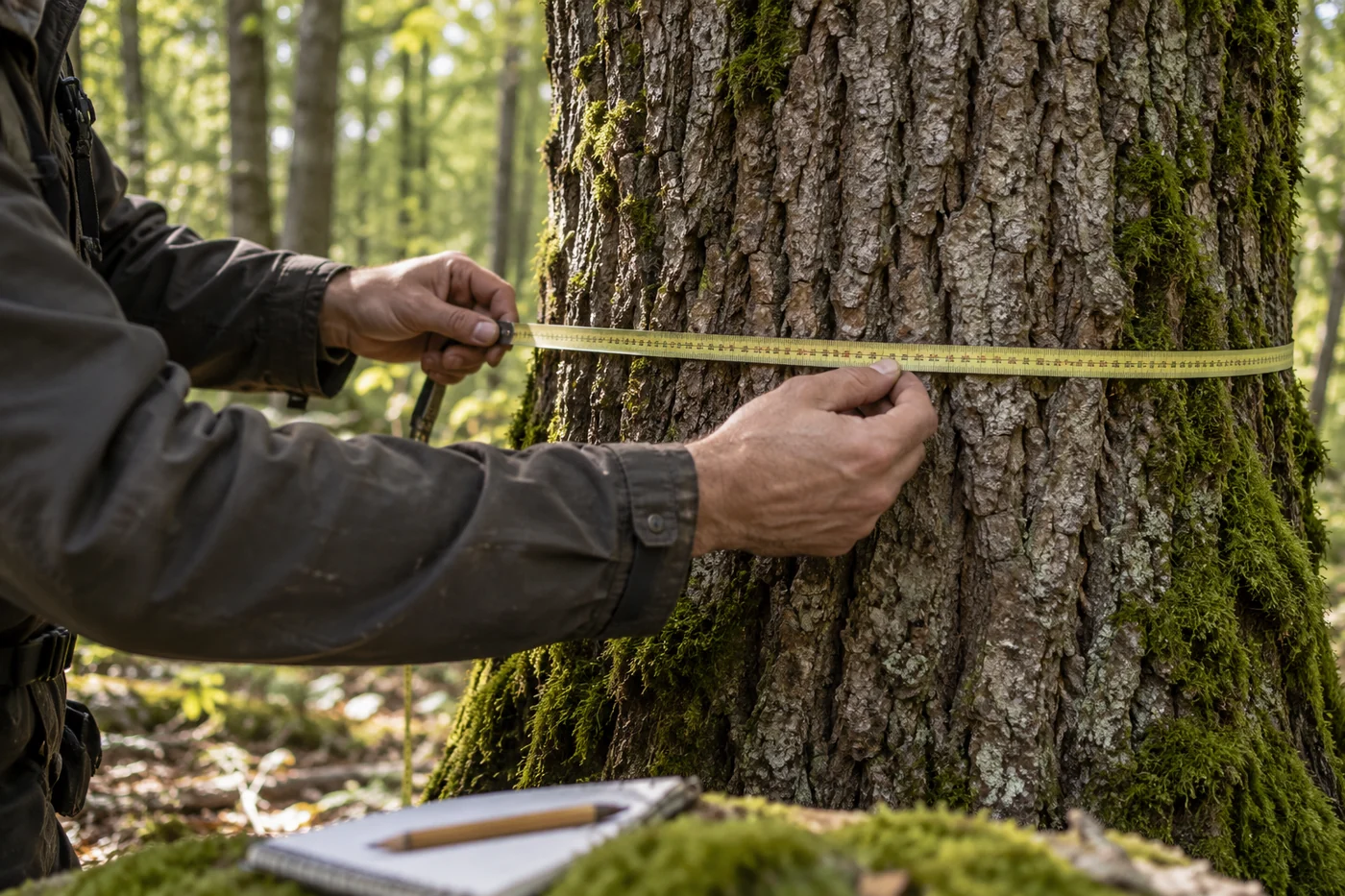
Walk accessible edges with the necessary permission. Photograph visible boundary markers, walls, ditches and changes in vegetation, linking each picture to your visit map. Record the seller’s explanation as an explanation rather than treating it as proof. An old fence is worth investigating but may not settle the issue. Leave markers in place and avoid marking trees for harvesting while ownership of the relevant strip remains unclear.
Give the surveyor a specific question
If uncertainty affects the purchase, send the collected documents to a géomètre-expert, the relevant French land surveying professional. Ask whether the task is recovering existing records, reinstating markers or arranging bornage with neighbouring owners. Service Public explains the role of the signed boundary record and plan. Request a quotation stating the boundaries covered, procedure, deliverables and proposed allocation of costs. A measurement exercise should not be mistaken for establishing an agreed legal boundary.
Connect the boundary question to the buying decision
Describe what is at stake: the woodland entrance, a strip needed for access, trees included in the valuation or a planned work area. Uncertainty beside the only entrance may matter more than an unclear corner with no immediate operational use. Ask the notaire how the issue should be addressed in the preliminary contract and who must provide the evidence before completion. An arbitrary price deduction does not resolve missing ownership information.
Keep records that contractors can use
Once the position is clarified, retain signed plans and records rather than only screenshots. Give relevant information to the manager or contractor before work near a boundary. Remote analysis using public data can flag an inconsistency and organise further checks; it cannot perform bornage. If documents and visible features still conflict, pause operations in the affected area. A phone’s position marker is a poor basis for deciding which trees to cut.
COMMON QUESTIONS
A few things to clear up.
Can a phone GPS establish my woodland boundary in France?
No. It helps you navigate during a visit but does not determine ownership rights. Compare observations with the property documents and have a géomètre-expert examine any material uncertainty.
Does an old fence necessarily mark the legal boundary?
Do not assume it does. Ask which deeds or records explain its position and investigate differences between the fence, markers and plans before relying on it.
Does every French woodland purchase require a full new survey?
The work should respond to the property and the uncertainty identified. Start with existing records; the notaire and géomètre-expert can define what further investigation is appropriate.
Sources and dates
Figures retain their reference year. Worked examples are educational; property-specific amounts require verification.
- Service Public — Bornage de terrainsConsulté le 19 octobre 2026
- IGN — Foire aux questions — cadastre, cartes et statut des cheminsConsulté le 19 octobre 2026
Sources accessed 19 October 2026. Independent sources; no partnership implied.
This guide provides documentary context. For a binding decision, have field, legal or insurance issues checked by the relevant professional.