Start with an unambiguous parcel reference
Request the commune, cadastral section and number for every parcel, with the stated area and a readable plan. A single listing may combine several references. Confirm that the complete list matches the area being offered and the documents supplied for the sale.
Create one row per reference in your working file, recording the origin and date of the information. If the seller provides an old reference or mentions a subdivision, obtain the current correspondence first. Otherwise, you could commission research on an area that differs from the intended purchase.
Use mapping to plan the right inspection
Compare the cadastral plan with aerial imagery and terrain information. IGN presents cartes.gouv.fr as France’s new public mapping portal after Géoportail. It can support initial property research; check the date of the layers you use.
Mark possible entrances, slopes, apparently different stands and areas requiring a visit. An image may not reveal a recent harvest, a usable track or permission to cross neighbouring land. Turn these observations into questions rather than conclusions. Bring the annotated map to the visit so the important locations are not missed.
Separate the cadastre, ownership and boundaries
The French tax administration explains that the cadastral plan is primarily fiscal and does not guarantee ownership rights. The title and notarial dossier therefore need examination. A mapped outline is not a substitute for those checks.
For boundaries, Service Public distinguishes cadastral mapping from formal boundary determination, or bornage. Where a line is uncertain, ask for existing records and advice from a géomètre-expert. A fence, old ditch or precise-looking phone position does not, by itself, settle a disagreement over the boundary.

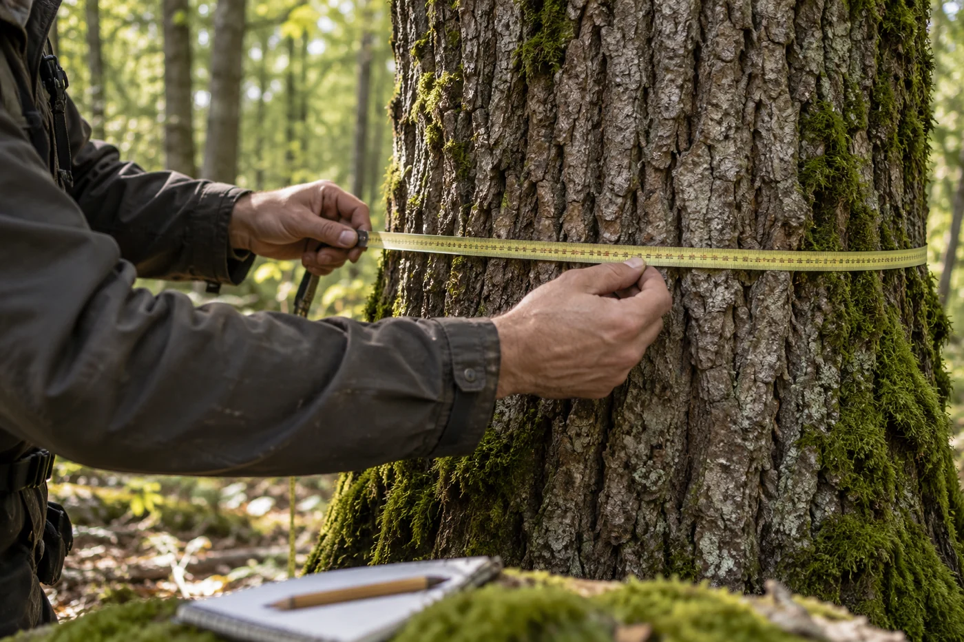
The landscape gives context; value depends on the selected land, its trees and access conditions.
Editorial illustration · not a depiction of an analysed propertyWrite down exactly what the sale includes
| Item | Document or clarification to request |
|---|---|
| Included parcels | List matching the proposed deed |
| Rights being sold | Nature of the rights confirmed by the notaire |
| Boundaries | Available plans and boundary records |
| Timber and agreed harvesting | History and current contracts |
| Occupations and commitments | Leases, agreements and management documents |
Use this list to identify unanswered questions. The description “woodland parcel” does not establish unrestricted use, or confirm that every tree in the listing photographs will remain when the property is transferred.
Check both the right of access and physical access
Trace the entire route from the public road to the property. For each section, ask what establishes the right to pass and have the notaire examine the relevant documents. Separately inspect width, slope, ground condition, obstacles and turning space.
Being able to walk into a parcel does not establish that a timber truck can collect logs. In a hypothetical example, the parcel borders a usable track but the only practical loading area belongs to a neighbour. Clarify arrangements for that area before building a harvesting income calculation around it.
One cadastral parcel can contain several different stands
During the visit, describe distinct areas separately: species, tree size, density, young planting, open ground and visible damage. An administrative boundary does not necessarily define one uniform forest stand. Link photographs and notes to locations on the plan.
Request management records and harvesting history. If standing timber is important to the asking price, distinguish observed facts from volume assumptions. Knowing the area accurately does not establish merchantable timber volume or future work requirements. Use the visit to decide which questions need a forestry professional rather than treating every tree cover as equivalent.
Resolve material unknowns before negotiating the price
Finish with three columns: confirmed, document awaited and site check needed. Prioritise matters that change what is being sold or how it can be used: rights, access, disputed boundaries and harvesting already contracted. Then examine stands, future costs and relevant market comparisons.
An indicative public-data review can help prepare the dossier and identify questions. It is not a title check, a boundary survey or a tree inventory. The practical aim is to know what remains uncertain before making an offer, with each outstanding point assigned to the person who can resolve it.
COMMON QUESTIONS
A few things to clear up.
How do I find a French woodland parcel using its number?
You also need the commune and cadastral section. Check the result against the cadastral plan and compare the complete reference list with the seller’s dossier.
Does the cadastre prove that the seller owns the woodland?
It does not guarantee ownership rights. Have the title and rights being transferred checked in the notarial dossier; a screenshot of the plan does not replace that verification.
Can the parcel be valued from its area alone?
No. Access, rights, tree stands, condition and future expenditure can affect the assessment. Area is an input, not a value in its own right.
Sources and dates
Figures retain their reference year. Worked examples are educational; property-specific amounts require verification.
- Direction générale des finances publiques — Questions réponses : valeur juridique du plan cadastralConsulté le 19/10/2026
- Service Public — Bornage de terrains2025-09-12
- IGN — Après Géoportail, découvrez cartes.gouv.fr2026-10-05
Sources accessed 19 October 2026. Independent sources; no partnership implied.
This guide provides documentary context. For a binding decision, have field, legal or insurance issues checked by the relevant professional.